
The Trinity F90+ combines the best attributes of fixed wing and multirotor aircraft. Utilising vertical takeoff and landing (VTOL) technology allows for take-off and landing from confined areas, while the...
In 2019, The Surveying Company was asked to provide accurate 3D data of the cliff faces of Bluff Hill for inspection and monitoring purposes.
This was a great project we were lucky enough to be involved with.
Due to recent advances in the surveying, this subdivision is fast making progress.
This is a small industrial development in Wakefield Street, Onekawa. The Surveying Company provided planning and survey services to the project and also set-out the buildings for the building contractor. [embed...
View our time lapse video below of the residential development in Waghorne Street, Ahuriri that is quickly taking shape.
As a result of recently producing some farm maps to assist with future compliance with Health & Safety legislation, we thought an article on this subject would be timely.
The local business we are featuring is annually converting around 30,000 tonnes of Hawkes Bay’s organic waste into 30,000 cubic metres of dark, rich compost. BioRich Ltd was founded in 2004 by Maraekakaho farmer Mike Glazebrook. Mike had been making ...
The process of the rural zone rule changes under the District Plan review is still going through the motions of submission and review however some aspects are beginning to crystallize.
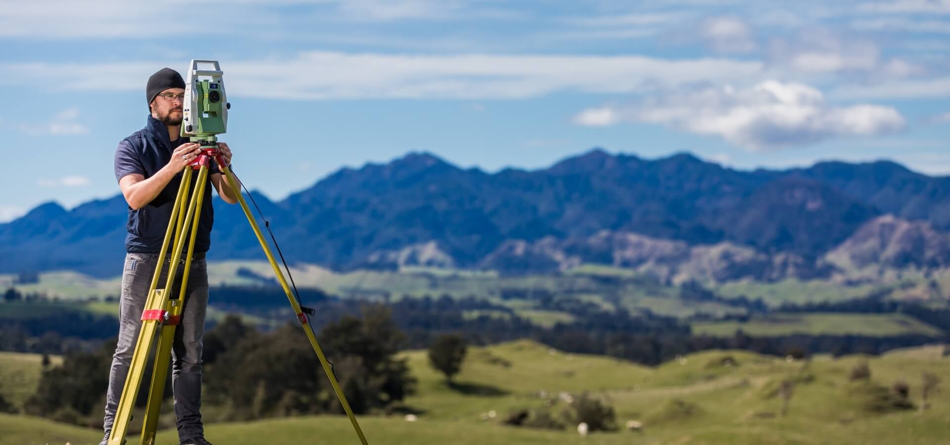
We have recently taken possession of the latest GPS equipment from Leica. This equipment replaces our existing Leica GPS which is now 10 years old. The new equipment will upgrade The Surveying Company’s ability to carry out challenging surveys...