- Home
- About Us
- Services
- Subdivision
- Land Surveying
- Farm Mapping
- Computer Drafting
- Civil Engineering
- Resource Consent Application
- Aerial survey and mapping
- 3D Laser Scanning
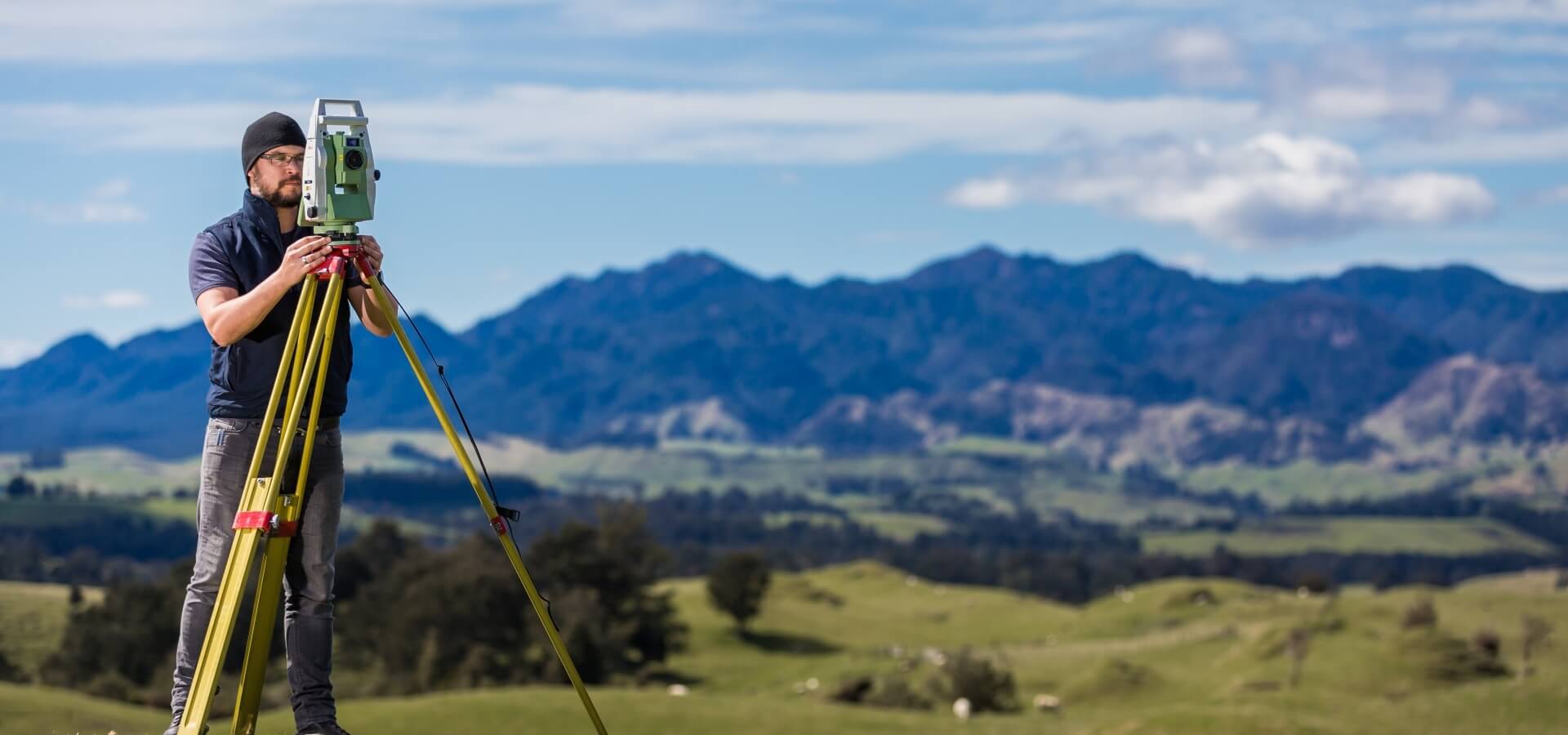
Land Surveying
Accurate survey information is essential for construction, developing land, establishing boundaries, and ensuring you have the best title for the use of your land. We understand you just want to get on with life, so we’ll provide fast, accurate information and advice.
Subdivision
Subdivision is the act of dividing a parcel of land into two or more parts. It’s an excellent way to free up cash from a fixed asset or to increase the value of land for sale or development. We’re specialists and can show you how to maximize the value of your subdivision.
Other Surveying Services
We love land. We love getting down and dirty in land work. Getting our feet stuck in the mud makes us smile. You can talk to us about anything land related, we've got you pegged. You might be surprised how easily we can get you a resource consent, or provide information about your farm so you can increase profits.
"We have used The Surveying Company on several projects providing topographical surveys for civil engineering projects. We have found the team to be friendly, efficient and cost effective. They are our preferred supplier for surveying services and we look forward to continuing to work with them on a wide range of projects.We have used The Surveying Company on several projects providing topographica..."
Tony Harrison, Transportation Service Group Manager, GHD
Excellent, efficient and friendly service all through, making our subdivision process very straightforward. We can thoroughly recommend The Surveying Company
HIGHLY RECOMMENDED! Had a great experience with Seamus, made my subdivision process very smooth and simple. Very professional service and very easy to deal with. Also helped me get an exemption from the $12K contribution payment to Hastings Council!I'm a very satisfied customer!
Nick was a great help and support throughout the subdivision process. Always quick to respond to calls and collaborated well to chase up subcontractors with me as required. Would thoroughly recommend Nick and the team at The Surveying Company to any future potential clients.
Excellent
Fast, efficient and reliable. Delivered what they proposed.
From start to finish, Nick was amazing to deal with, he talked a language that I could understand, he was very professional while being very user-friendly. I would strongly recommend him to anyone wanting to subdivide. I'd like to take the opportunity to thank him for all the help he gave throughout the process, thank you Nick, you made the process very easy for us.
Regards, John
Thank you The Surveying Company, this was my first time doing a subdivision and you made it super easy. Found you easy to contact and you always made prompt responses to my queries. I would recommend you guys to others. A very seamless process from my end. Raewyn
We are very happy with the service provided by all of the people we have dealt with at The Surveying Company, thank you.
Nick Wakefield did a great job through a difficult time with COVID and everything that went with it. There were many delays with the project outside of Nick's control. A project that should have taken months took years, but Nick continued to steer the project and followed up when he could.
The level of service and expertise we received during our land subdivision using Nick and The Surveying Company was outstanding. Nick was always prompt, responsive to our many queries and fully supportive for us throughout the whole process. I would recommend Nick and The Surveying Company to anyone seeking this type of expertise and advice.
The Survey Company H.B. recently completed a subdivision of our property.
The exercise was both a pleasant and positive experience with their approach always professional - relatable, open and obliging and
communications, timely and comprehensive.
Their service commitments are excellent.
From the outset Nick and staff were very approachable and professional. The process of subdividing was clearly explained and all costs laid out before starting so there were no surprises. We really appreciated Nick's patient answering of all our questions and extra advice when we also decided to add in easements for power. The surveying staff were friendly and respectful when on site and we would have no hesitation in recommending The Surveying Company to others. Many thanks to Nick and team.