- Home
- About Us
- Services
- Subdivision
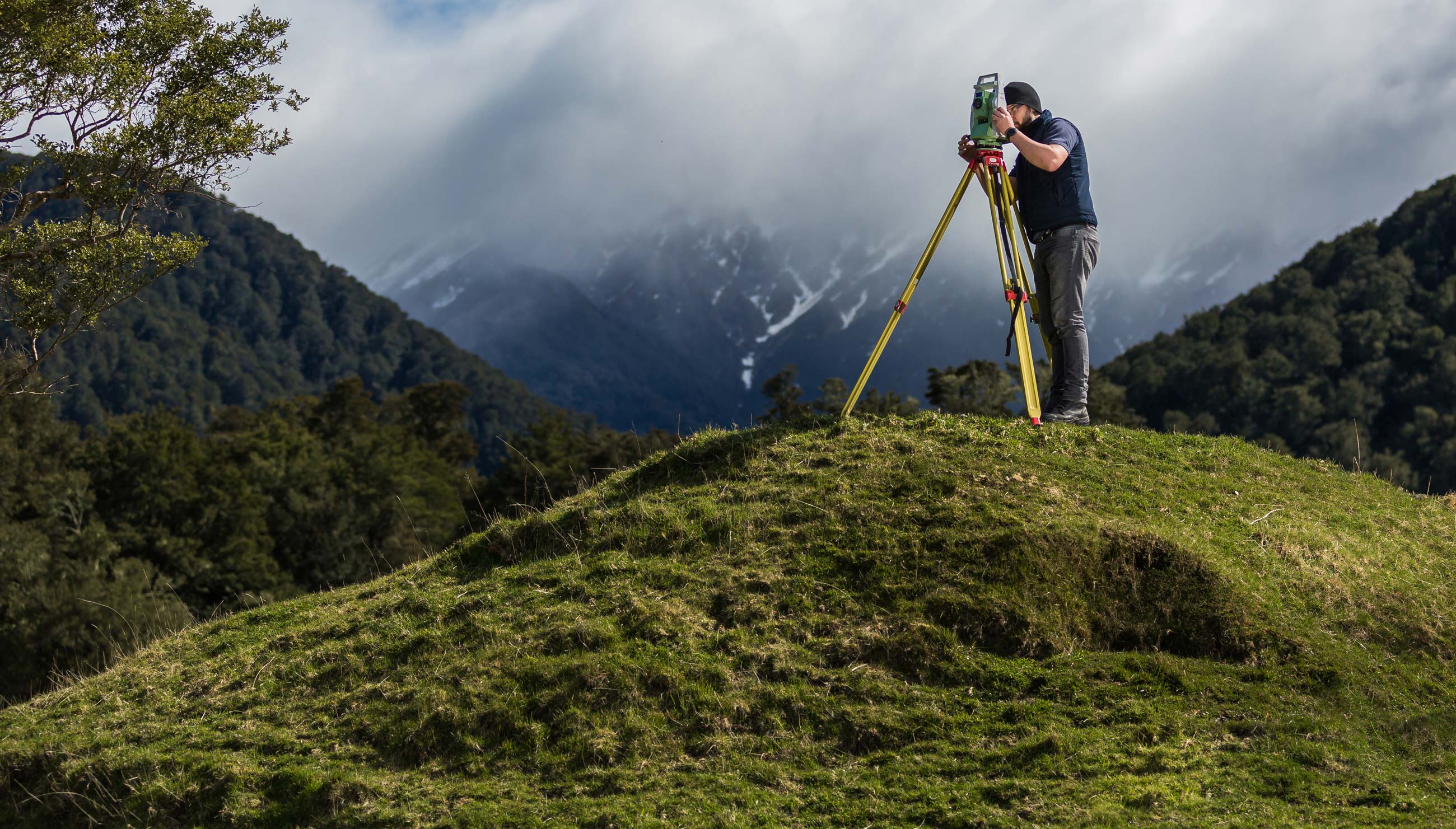
- Land Surveying
- Farm Mapping
- Computer Drafting
- Civil Engineering
- Resource Consent Application
- Aerial survey and mapping
- 3D Laser Scanning
Using a combination of both terrestrial and aerial imagery we can 3D model nearly anything, just from photos and a bit of survey know-how. Where laser scanning is restricted to ground based measurement and is subject to shadowing meaning missing data, UAV’s can see structures from all angles, enabling the ability to model all aspects of the entire feature.
Terrain inspection and modelling
We can use aerial data to reconstruct 3D terrain features in the digital world with high accuracy. These models are generally used for assessing risks (i.e rockfalls, cliff failures etc) that may cause a safety hazard, designing structures (i.e retaining walls), inspecting inaccessible areas, or even 3D printing an accurate terrain model for future development. Using a UAV for this is ideal as we are able to scan the entire area of interest from a safe location, leaving no gaps in the data. We have used UAVs in Hawke’s Bay to assess and monitor a major landslide on Clifton Beach, to monitor ongoing rockfalls across a 10km stretch of coastal cliffs, and to inspect and assess the cliff faces of Bluff Hill for potential failures.
Building reconstruction and modelling
A UAV is the perfect tool for 3D modelling of buildings. Utilising both ground based, and aerial photography capture we can combine imagery for a full overview of the building. We don’t just stop at single buildings though; we can model entire city blocks! This data can then be used by architects and engineers for future designs, additions or alterations, by councils and heritage registers for records of current building condition, or by inspectors to assess the condition of the building in high detail without the need for specialist safety equipment. We have used UAVs for roof inspections, single building models (such as the heritage listed church below), and full coordinated 3D models of entire city blocks.
Excellent, efficient and friendly service all through, making our subdivision process very straightforward. We can thoroughly recommend The Surveying Company
HIGHLY RECOMMENDED! Had a great experience with Seamus, made my subdivision process very smooth and simple. Very professional service and very easy to deal with. Also helped me get an exemption from the $12K contribution payment to Hastings Council!I'm a very satisfied customer!
Nick was a great help and support throughout the subdivision process. Always quick to respond to calls and collaborated well to chase up subcontractors with me as required. Would thoroughly recommend Nick and the team at The Surveying Company to any future potential clients.
Excellent
Fast, efficient and reliable. Delivered what they proposed.
From start to finish, Nick was amazing to deal with, he talked a language that I could understand, he was very professional while being very user-friendly. I would strongly recommend him to anyone wanting to subdivide. I'd like to take the opportunity to thank him for all the help he gave throughout the process, thank you Nick, you made the process very easy for us.
Regards, John
Thank you The Surveying Company, this was my first time doing a subdivision and you made it super easy. Found you easy to contact and you always made prompt responses to my queries. I would recommend you guys to others. A very seamless process from my end. Raewyn
We are very happy with the service provided by all of the people we have dealt with at The Surveying Company, thank you.
Nick Wakefield did a great job through a difficult time with COVID and everything that went with it. There were many delays with the project outside of Nick's control. A project that should have taken months took years, but Nick continued to steer the project and followed up when he could.
The level of service and expertise we received during our land subdivision using Nick and The Surveying Company was outstanding. Nick was always prompt, responsive to our many queries and fully supportive for us throughout the whole process. I would recommend Nick and The Surveying Company to anyone seeking this type of expertise and advice.
The Survey Company H.B. recently completed a subdivision of our property.
The exercise was both a pleasant and positive experience with their approach always professional - relatable, open and obliging and
communications, timely and comprehensive.
Their service commitments are excellent.
From the outset Nick and staff were very approachable and professional. The process of subdividing was clearly explained and all costs laid out before starting so there were no surprises. We really appreciated Nick's patient answering of all our questions and extra advice when we also decided to add in easements for power. The surveying staff were friendly and respectful when on site and we would have no hesitation in recommending The Surveying Company to others. Many thanks to Nick and team.